Guide to the Breed Collection of Maps, Documents, and Prints, 1545-1973
Prints
pages, documents, and illustrations depicting various regions of the globe ranging
from the 16th to 19th centuries.

Here you will find digitized archival collections, oral histories, and more. We are continually expanding the collections and improving access. You may find additional digital resources that reside outside the digital library here, and a selection of Online Exhibitions here.
Collections Overview
The Archives & Special Collections Library is part of the Vassar College Libraries system. It holds the rare book, manuscript, and archival collections of the college. It collects, preserves, and makes available rare and unique collections, and also engages in teaching and outreach activities. This collection of finding aids describe items in both the Virginia B. Smith Memorial Manuscript Collection and the College Archives.

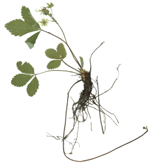
The Vassar College herbarium holds over 8,000 specimens of vascular plants, bryophytes, and algae. Holdings are primarily from northeastern North America, and include collections made by several notable 19th century botanists. To learn more about this project visit the website here.
Vassar College's institutional repository reflects the research and scholarly output of the Vassar College community. It provides access to senior theses, peer reviewed open access articles, and projects from a wide range of disciplines.